North Side Flood Risk Management
Background
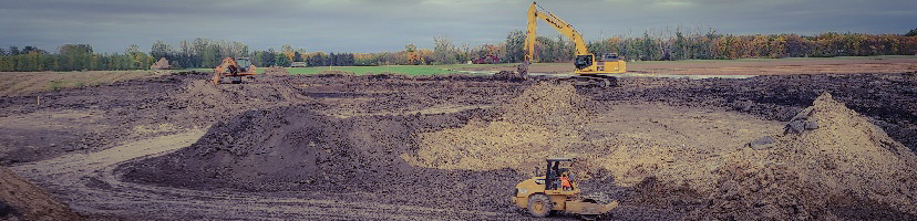
The North Side Flood Risk Management project consists of constructing an earthen levee along the northern edge of Fargo’s City limits. Once completed, there will be a continuous line of protection from Cass County Highway 81 (near 64th Avenue North) to University Drive North (near 46th Avenue North). The line of protection utilizes existing levees along the project alignment, which are located at Fargo’s wastewater lagoons.
This project has been identified as being necessary to allow the proposed 1% annual chance flood level (37-foot river gage height) to pass through Fargo, without any emergency measures, once the Fargo-Moorhead Diversion Project (Diversion) is completed. Prior to the Diversion being completed, this project will also reduce the need for emergency levees during spring flood events.
This flood risk management project includes:
- Constructing an earthen levee along the northern edge of Fargo’s City limits
- Relocating existing storm sewer lift station #53, within Southeast Cass Water Resource District’s Drain 10, from 40th Avenue North to 52nd Avenue North
- Additional storm sewer improvements including the construction of three gate wells within the line of protection to prevent floodwaters from entering into the protected area
Timeline of Design & Construction:
- Project design occurred throughout 2020, with the project being awarded to Key Contracting Inc. in late summer.
- Construction began on September 15th, 2020.
- Levee work is scheduled for completion in the fall of 2021.
- Lift station construction is scheduled to be completed by early 2022.
- The project is scheduled for substantial completion in the summer of 2022.