
Information Services (IS)
The Information Services (IS) Department is responsible for:
- Providing technical planning and operational support to City of Fargo departments
- Leveraging technology to meet City of Fargo departmental needs
- Generating public mapping information (flood, parcel, zoning, etc.) through Geographical Information Systems (GIS) Services
Note: The IS Department is not involved with challenges facing neighborhoods, visitor information, utilities or licensing, streets or traffic signals.
Services Offered

GIS Services
Learn more about Address Changes, Address Assignments, Street Renaming and Mapping Services
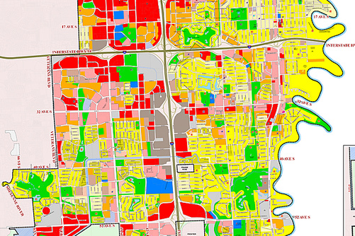
City Maps
View the City of Fargo's Interactive and PDF maps to read schedules, view construction and note parcel information

Street Locator
Locate a street by viewing the interactive map or entering the house or block number